Rocks and the shape of Britain: upland and lowland
KS3 GeographyL7KS3Lesson packSubscription
Also online
This worksheet marks itself
Set it as homework or classwork and every answer is marked as pupils go, with feedback on what they got wrong. The scores go straight into your mark book, so you can see who needs help before the next lesson.
- 11 questions
- 33 marks
- about 30 minutes
- marked instantly
Question types: multiple choice, true or false, label the diagram, sorting, matching.
Try one from this worksheet
Which part of Britain is mostly upland?
Pick an answer: it's marked straight away, just as your pupils would see it.
About this resource
Find out where the high and low land of Britain is, how the type of rock helps to explain it, and why people use mountains and plains in different ways.
14 slides.
Lesson outline
- Hook
- Do Now — Retrieval
- Keywords for This Lesson
- Relief map of Britain: upland and lowland
- Rock map of Britain: older, harder rock and younger, softer rock
- I Do
- Hinge Check
- We Do
- Task — Land uses: upland or lowland?
- Task — Describe and explain the pattern
- Self-Check
- Homework
Unit bundleRocks, weathering and soils

More from Rocks, weathering and soils
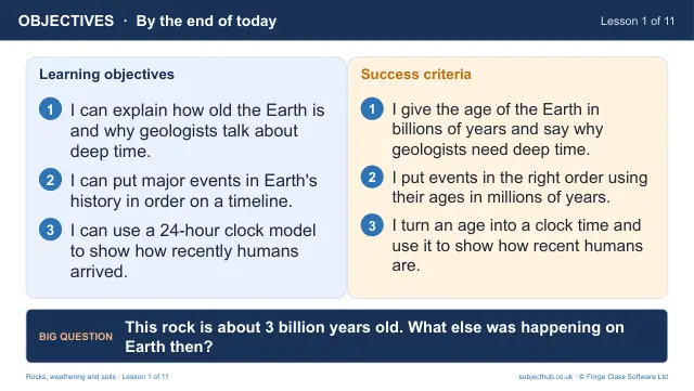
- Lesson pack · L1Deep time: the geological timescaleFree
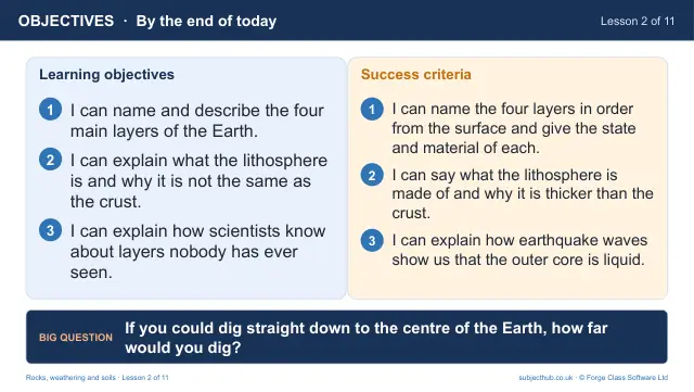
- Lesson pack · L2Inside the Earth: crust, mantle and coreSubscription
- Lesson pack · L3Igneous, sedimentary and metamorphic rocksSubscription
- Lesson pack · L4The rock cycleSubscription
- Lesson pack · L5Weathering: mechanical, chemical and biologicalSubscription
- Lesson pack · L6Limestone landscapes: the White Peak and MalhamSubscription
- Lesson pack · L8What is soil? Formation and the soil profileSubscription
- Lesson pack · L9Soils around the world, and why soil mattersSubscription