Long profile and cross-profile: how a river changes downstream
KS3 GeographyL4KS3Lesson packSubscription
Also online
This worksheet marks itself
Set it as homework or classwork and every answer is marked as pupils go, with feedback on what they got wrong. The scores go straight into your mark book, so you can see who needs help before the next lesson.
- 12 questions
- 35 marks
- about 35 minutes
- marked instantly
Question types: calculation, multiple choice, true or false, label the diagram, matching.
Try one from this worksheet
On a map, which stretch of a river has the steepest gradient?
Pick an answer: it's marked straight away, just as your pupils would see it.
About this resource
Follow a river from its source to its mouth. You will describe how its height, valley and channel change, and calculate how steeply it falls.
14 slides.
Lesson outline
- Hook
- Do Now — Retrieval
- Keywords for This Lesson
- Teach — The long profile and three cross-profiles
- Teach — Height of the river along its length
- I Do
- Hinge Check
- We Do
- Task — Compare the upper, middle and lower course
- Task — How does the valley change from source to mouth?
- Self-Check
- Homework
Unit bundleRivers
More from Rivers
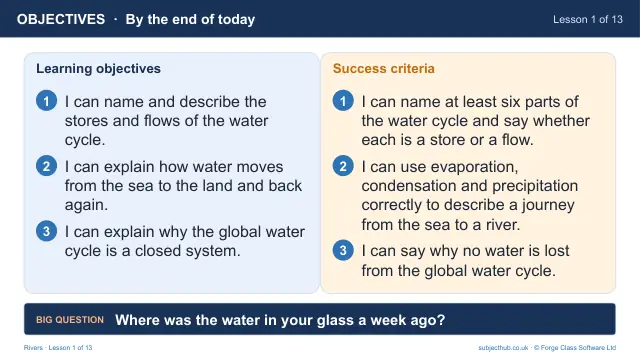
- Lesson pack · L1The water cycle: a global systemFree
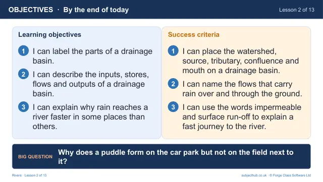
- Lesson pack · L2The drainage basin: how does water reach a river?Subscription
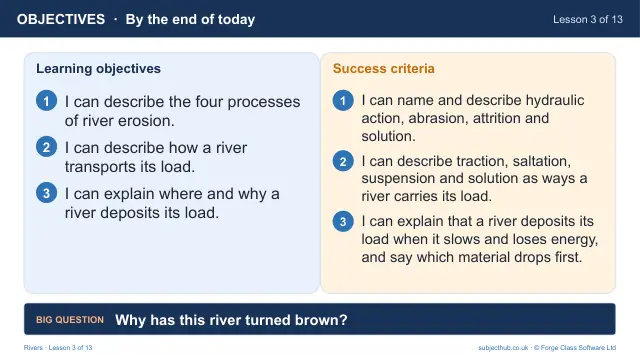
- Lesson pack · L3River processes: erosion, transport and depositionSubscription
- Lesson pack · L5Waterfalls and gorgesSubscription
- Lesson pack · L6Meanders and ox-bow lakesSubscription
- Lesson pack · L7Floodplains, levees and estuariesSubscription
- Lesson pack · L8Rivers on OS mapsSubscription
- Lesson pack · L9Why do rivers flood? Reading a hydrographSubscription