Reading the coast on a map
KS3 GeographyL8KS3Lesson packSubscription
Also online
This worksheet marks itself
Set it as homework or classwork and every answer is marked as pupils go, with feedback on what they got wrong. The scores go straight into your mark book, so you can see who needs help before the next lesson.
- 12 questions
- 31 marks
- about 35 minutes
- marked instantly
Question types: multi-part, multiple choice, matching, sorting, label the diagram.
One question from this worksheet
- 1. The question
- 2. A pupil answers
- 3. Marked instantly
About this resource
Learn to read a coastal map. Give 4- and 6-figure grid references, measure straight and curved distances, work out directions and heights, and match map clues to coastal landforms.
15 slides.
Lesson outline
- Hook
- Do Now — Retrieval
- Keywords for This Lesson
- Teach — Symbols on an Invented Coastal Map
- I Do — Reading a Grid Reference on the Map
- I Do — Writing It Down
- Hinge Check
- We Do — Six Figures for the Pub
- We Do — Check Your Reference
- Task — Measure Distance and Direction
- Back to the Photo: Studland Map and Old Harry
- Task — Ten Questions on the Carrow Bay Map
Unit bundleCoasts
More from Coasts
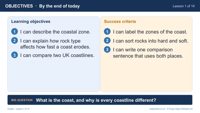
- Lesson pack · L1What is the coast, and why is every coastline different?Free
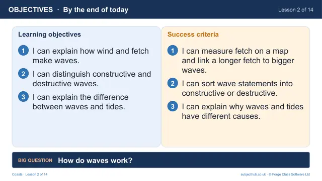
- Lesson pack · L2How do waves work? Fetch, swash and tidesSubscription
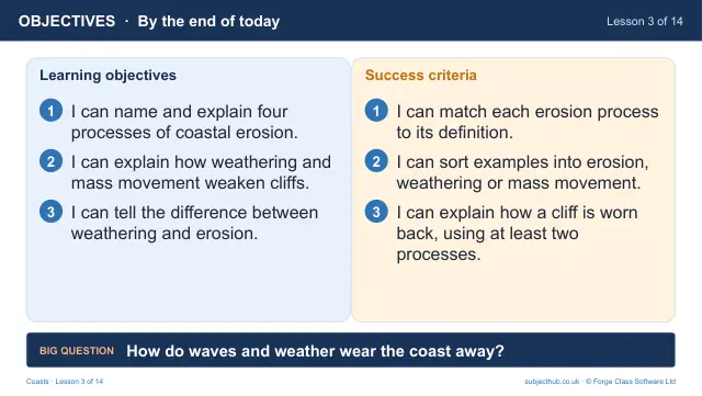
- Lesson pack · L3How do waves and weather wear the coast away?Subscription
- Lesson pack · L4Where does the eroded material go? Longshore drift and depositionSubscription
- Lesson pack · L5Headlands, bays, cliffs and wave-cut platformsSubscription
- Lesson pack · L6From crack to stump: caves, arches and stacksSubscription
- Lesson pack · L7Extended writing: explain how a stack formsSubscription
- Lesson pack · L9Holderness: what happens when the land falls into the sea?Subscription