The UK and the British Isles: an atlas investigation
KS3 GeographyL5KS3Lesson packSubscription
Also online
This worksheet marks itself
Set it as homework or classwork and every answer is marked as pupils go, with feedback on what they got wrong. The scores go straight into your mark book, so you can see who needs help before the next lesson.
- 12 questions
- 33 marks
- about 30 minutes
- marked instantly
Question types: multiple choice, matching, true or false, label the diagram, sorting.
Try one from this worksheet
How many countries make up the United Kingdom?
Pick an answer: it's marked straight away, just as your pupils would see it.
About this resource
Pupils learn what the UK, Great Britain and the British Isles each include, and investigate which parts of Britain are upland and which are lowland.
14 slides.
Lesson outline
- Hook
- Do Now — Retrieval
- Keywords for This Lesson
- UK vs Great Britain vs British Isles
- How the UK, GB and British Isles Nest
- Poll
- Label the UK's Countries and Capitals
- Upland and Lowland Britain
- Sort Places: Upland or Lowland
- Describe the Location of Snowdon
- Self-Check
- Homework
Unit bundleMaps, place and scale
More from Maps, place and scale
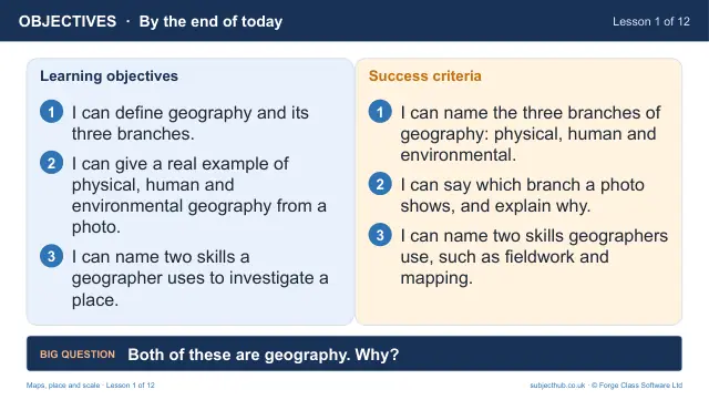
- Lesson pack · L1What is geography? Physical, human and environmentalFree
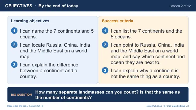
- Lesson pack · L2Continents, oceans and the world mapSubscription
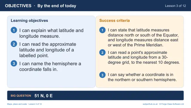
- Lesson pack · L3Latitude and longitude: finding any place on EarthSubscription
- Lesson pack · L4Map projections: why does Greenland look so big?Subscription
- Lesson pack · L6Direction and map symbols: reading an OS mapSubscription
- Lesson pack · L7Four-figure grid referencesSubscription
- Lesson pack · L8Six-figure grid referencesSubscription
- Lesson pack · L9Scale and distanceSubscription