Maps, place and scale: the whole unit
KS3 GeographyKS3Unit bundleSubscription
About this resource
Unit bundle for KS3 Geography, Maps, place and scale: whole unit (zip).
In this unit pack
12 resources, in teaching order.
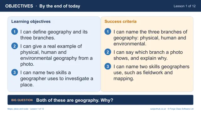
- What is geography? Physical, human and environmentalLesson pack · L1Free
- Continents, oceans and the world mapLesson pack · L2Subscription
- Latitude and longitude: finding any place on EarthLesson pack · L3Subscription
- Map projections: why does Greenland look so big?Lesson pack · L4Subscription
- The UK and the British Isles: an atlas investigationLesson pack · L5Subscription
- Direction and map symbols: reading an OS mapLesson pack · L6Subscription
- Four-figure grid referencesLesson pack · L7Subscription
- Six-figure grid referencesLesson pack · L8Subscription
- Scale and distanceLesson pack · L9Subscription
- Height and relief: contours, spot heights and cross-sectionsLesson pack · L10Subscription
- Aerial photographs, satellite images and GISLesson pack · L11Subscription
- Assessment: map skills paper and describing a locationLesson pack · L12Subscription
More from Maps, place and scale
- Lesson pack · L1What is geography? Physical, human and environmentalFree
- Lesson pack · L2Continents, oceans and the world mapSubscription
- Lesson pack · L3Latitude and longitude: finding any place on EarthSubscription
- Lesson pack · L4Map projections: why does Greenland look so big?Subscription
- Lesson pack · L5The UK and the British Isles: an atlas investigationSubscription
- Lesson pack · L6Direction and map symbols: reading an OS mapSubscription
- Lesson pack · L7Four-figure grid referencesSubscription
- Lesson pack · L8Six-figure grid referencesSubscription